Mapping Software: A Beginner’s Guide to Geospatial Technology
Navigating the intricate world of geospatial data can be daunting for novices. Yet, understanding the power and purpose of mapping software can unlock many benefits. This technology is an essential tool for cartographers, businesses, researchers, and anyone interested in making data-driven decisions based on geographical information. The integration of mapping software in myriad operations has revolutionized how we visualize and interpret space and location, helping solve complex problems with innovative solutions.
This comprehensive guide will introduce you to the fundamentals of mapping software, illuminating its capabilities and diverse applications. As we navigate this digital landscape together, you’ll learn how these tools grid and quantify our world, making it accessible and actionable for all users.
Key Takeaways:
- Mapping software provides indispensable insights with applications in numerous fields.
- Geospatial technology is integral to informed and strategic decision-making in business and beyond.
- Seamless integration with business intelligence tools can greatly enhance operational analytics.
- Recognizing and addressing challenges in adoption ensures the fruitful deployment of mapping solutions.
Table of Contents:
- Introduction to the Use of Mapping Software
- Unveiling the Power of Geospatial Information
- Mapping and Business Intelligence: A Symbiotic Relationship
- Overcoming Adoption Challenges
- Future Trends in Geospatial Technology
- Route Optimization and Logistics Efficiency
- Unlocking Patterns in Customer Behavior with Location Data
- Strategizing with Competitive Geographic Insights
- Effective Implementation of Mapping into Workflows
- Conclusion: The Expanding Realm of Mapping Software
Introduction to the Use of Mapping Software
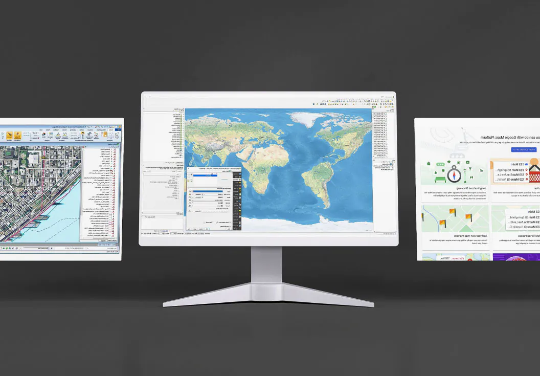
At its core, mapping software is about representing and analyzing geographic data. It integrates the science of geography with the capabilities of modern technology to offer a dynamic platform for visualizing and analyzing spatial information. This sort of software has become invaluable in various fields, including environmental management, public safety, urban planning, and more. Its user-friendly interface allows for easily manipulating data layers, transforming complex datasets into understandable and actionable visualizations.
Unveiling the Power of Geospatial Information
Geospatial technology, enabled by mapping software, discovers trends, patterns, and narratives hidden within data relative to location. This is not just about finding the quickest route on a map; it’s about uncovering hidden patterns in consumer behavior, forecasting environmental changes, planning urban infrastructures, and optimizing resources. The upshot of this technology is its ability to make sense of the world in ways that were previously impossible or too resource-intensive to contemplate, opening up new frontiers across a range of industries.
Mapping and Business Intelligence: A Symbiotic Relationship
The confluence of mapping software and business intelligence tools creates a powerful ecosystem for data analysis. By situating business data in the context of geography, companies can glean fresh insights that inform strategic decision-making. Whether through visualizing sales regions, tracking distribution networks, or exploring demographic trends, the geographical dimension added by mapping software often reveals opportunities hitherto overlooked.
Overcoming Adoption Challenges
The journey to successfully integrate mapping software into business or governmental operations can be challenging. Data accuracy, privacy, technical integration, and user training pose potential obstacles. Businesses must maneuver through these intricacies, selecting a tailored software option that fits their immediate needs and aligns with their long-term strategic vision. Tackling these challenges head-on is key to successful adoption, allowing organizations to harness the full potential of mapping technology.
Future Trends in Geospatial Technology
The trajectory of mapping software is toward greater integration with cutting-edge technologies like artificial intelligence, big data analytics, and the Internet of Things (IoT). These developments promise to enhance our understanding of space and time within the context of vast datasets, automating and refining the analytical capabilities of mapping solutions.
Route Optimization and Logistics Efficiency
Efficient logistics are the linchpin of a successful supply chain, and mapping software is essential in achieving such efficiency. Through routing optimization, companies can ensure that goods and services are delivered in the most time- and cost-effective manner. This optimization also brings additional benefits, such as reduced fuel consumption, which leads to a lower carbon footprint, and real-time adjustments to routes, which can account for unforeseen events such as traffic jams or road closures.
Unlocking Patterns in Customer Behavior with Location Data
The ability to analyze customer data through the lens of location can be revelatory for businesses. Geospatial technology identifies where customers live, work, and shop, influencing everything from marketing strategies to inventory allocation. With this location data, businesses can uncover patterns in customer behavior that are not readily apparent through other data analysis methods, ensuring that their offerings are optimized for the geographic preferences of their target audience.
Strategizing with Competitive Geographic Insights
Competitive geographic insights provide a foundation for strategic business decisions. By visualizing the spatial distribution of competitors, mapping software helps businesses understand their position within the market and identify areas of geographic opportunity. This knowledge is crucial in formulating plans for expansion, marketing, and resource allocation, allowing businesses to stay one step ahead in the competitive landscape.
Effective Implementation of Mapping into Workflows
Effective implementation of mapping software requires a well-thought-out plan that extends across an organization’s technological and cultural facets. It is not enough to purchase software; teams must understand its capabilities, be trained in its application, and integrate it into their workflows. Developing a data management strategy is also key, as it ensures the integrity and accessibility of geospatial data, leading to a powerful synergy between the organization’s strategic objectives and technical capabilities.
Conclusion: The Expanding Realm of Mapping Software
The terrain of mapping software is vast and varied, offering uncharted territories for businesses and individuals to explore. The potential locked within geospatial data is immense, and with the continual advancements in mapping technology, the horizons of what’s possible are ever-expanding. Navigating this landscape effectively can yield enhanced productivity, greater insights, and an enriched understanding of the spatial factors that underpin our lives and work. Indeed, the journey with mapping software is one of discovery, strategy, and, ultimately, ingenuity in applying data to the real world.
Keep an eye for more news & updates on VerifiedZine!